Provo UT to Moab UT, Canyonland National Park Island in the Sky, Road Trip Day 2

May 31, 2021
Today is Monday, end of the Memorial Day Weekends, travel is pretty uneventful, but we get to see the 5 miles backup coming back north bound from Moab on Highway UT-5. It seems to go on and on and on, well, for 5 miles. Note to self or anyone who want to travel during long weekends, take an extra day and enjoy wherever you are after the crowd leave.
Well, speaking from a guy who don't have a schedule anymore, so YMMV.
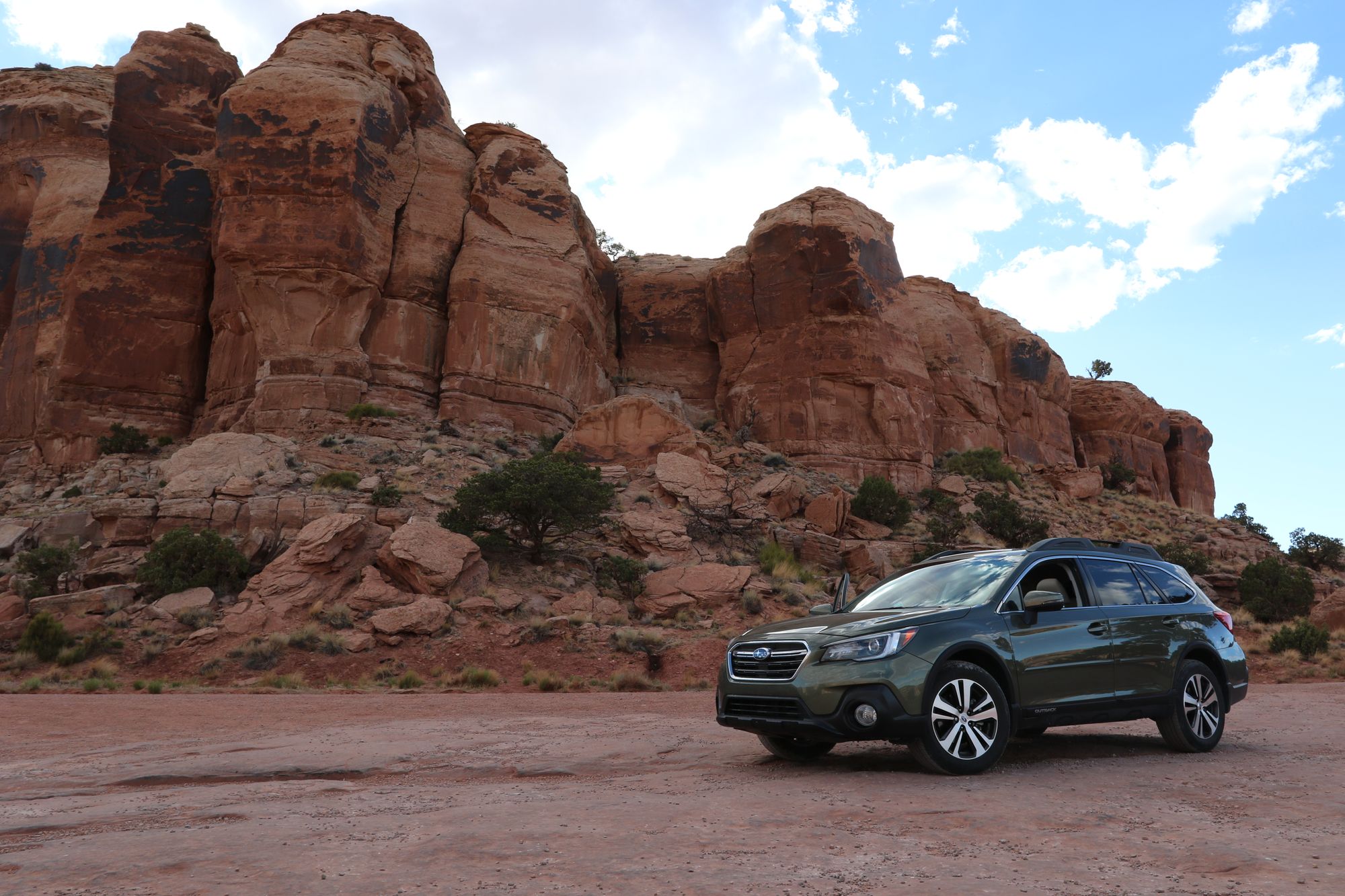
Short drive from Provo to Moab, only a little over 3 hours. Sunset time for Moab was 2035ish, so we decided to check into the hotel rest a bit before head into Canyonland National Park.
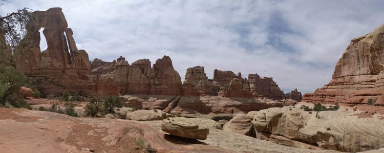
High light of this day is driving down Shafer Canyon Road. This is the road taking you from the rim from Island In the Sky Road all the way down to the valley, which can either branch off to Potash Road (35 miles back to Moab) or continue to White Rim Road (100 miles around island in the sky). According to the direction at the beginning of the trail, Shafer Road is one way down and you should take Potash Road for 35 miles to return to Moab.
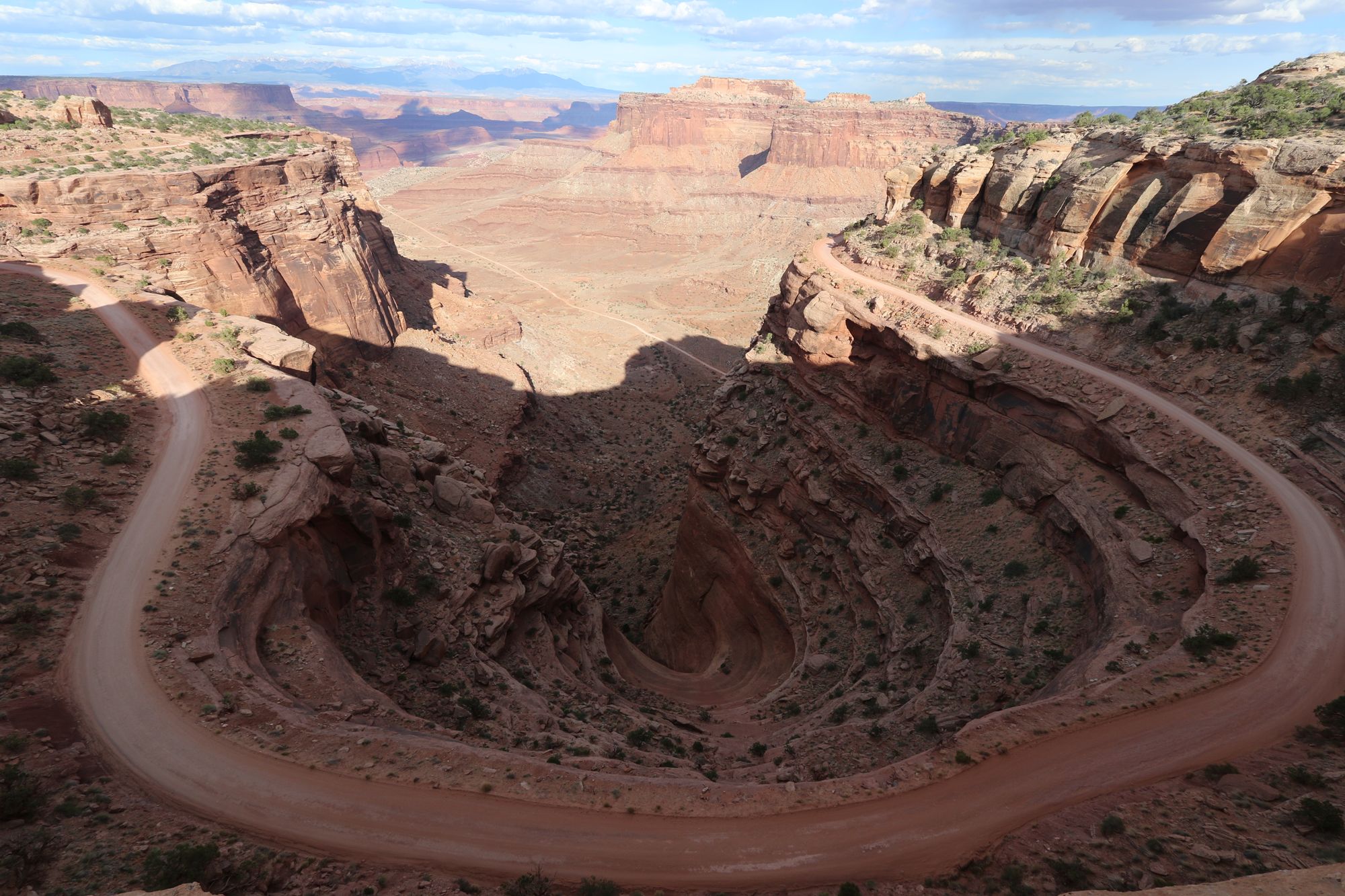
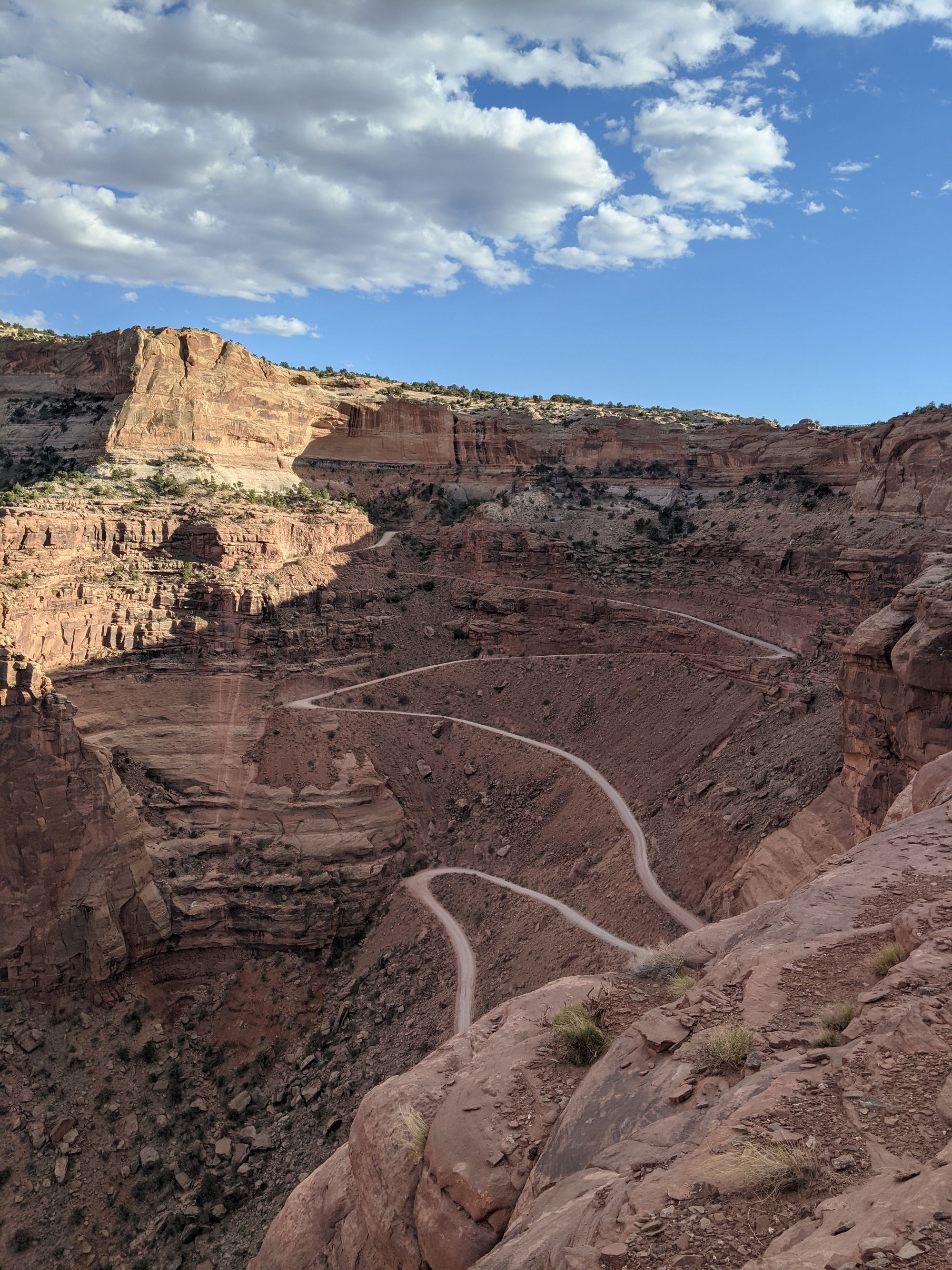
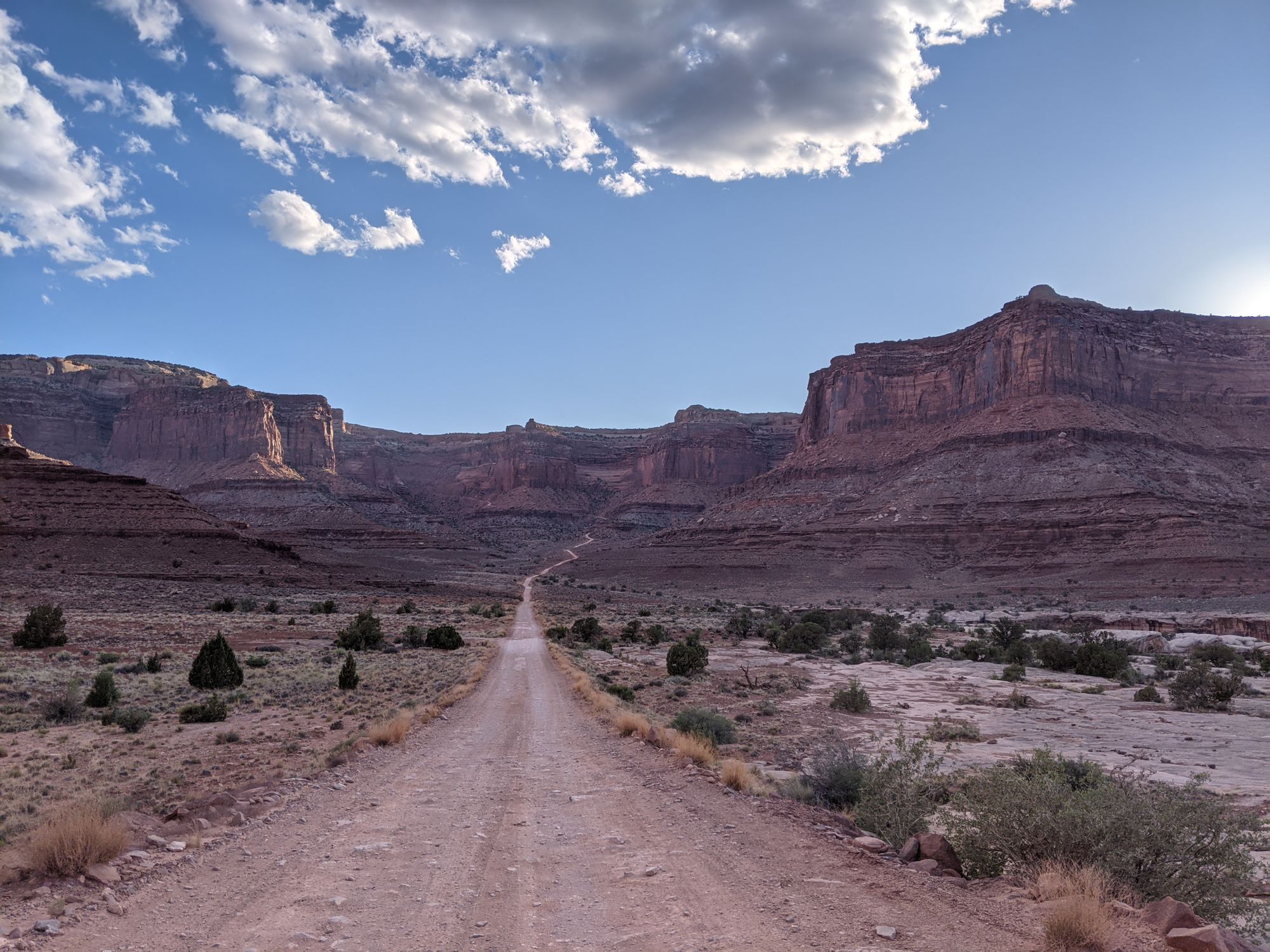
On the way down to the valley, (yes, it's the little line that is way way down there in the picture) we run into quite a few vehicle coming back up and I comment on why are they coming up a one way road. Well, we will find out soon enough (about an hour and half later) the reason. We went down to the valley and went about a mile down White Rim Road (bad bad Ben) to see if we can get close to the Colorado River, but end up turning back and went on to Potash Road.
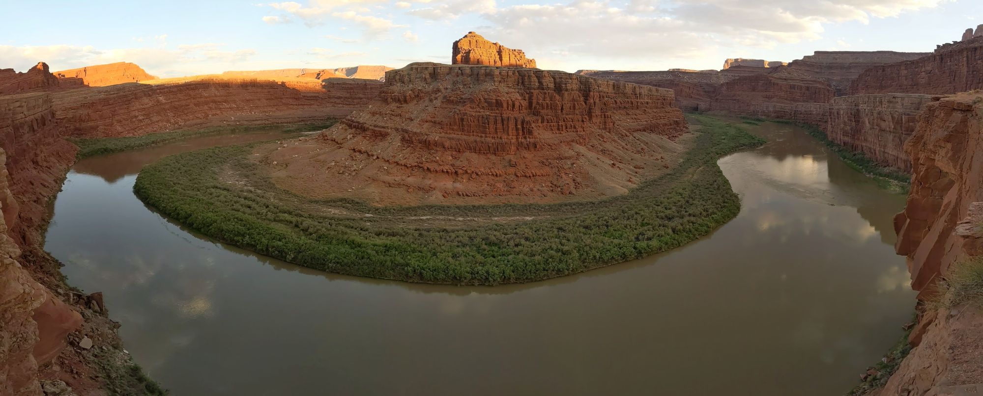
Potash Road is not bad within the Park, but once you leave the Park parameter, the road became really really rough. It end up taking us an hour to go about 3 miles. During that 3 mils, we did get right next to the Colorado River and took some pictures there. Shortly after the river, the road became pretty hard core 4 wheeling, and we decide to turn back and going back up Shafer Canyon Road like the rest of the vehicle that we saw. Below are a couple minutes of video from the car camera when we decided to turn around.
Is it passable, ya sure, I probably can take the outback that way, but slowly and it would likely taken another 4-6 hours to cover the rest of the 30 miles and in the dark. If I had a Jeep with say 11-13 inch of clearance, I can probably do it faster, but it will definitely take longer than I would like.
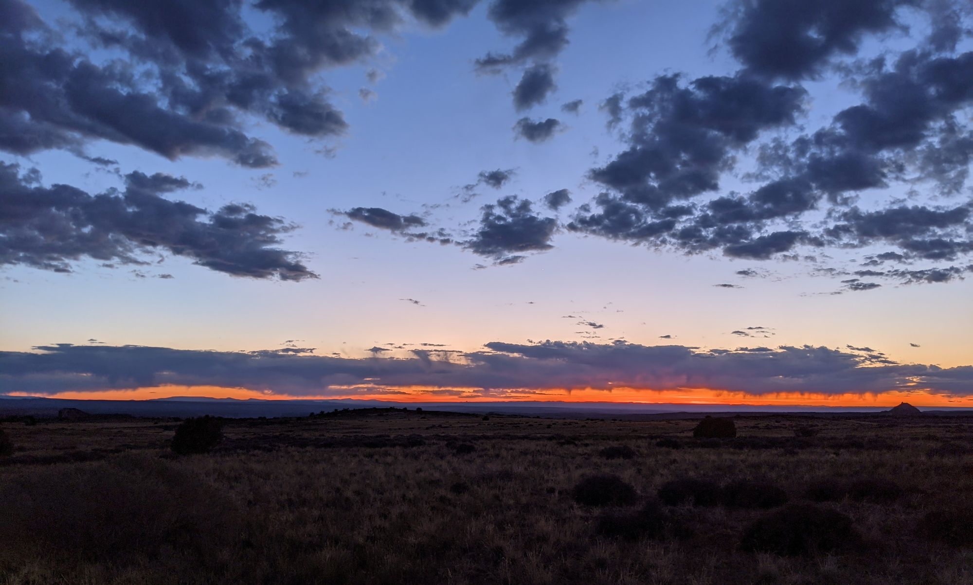
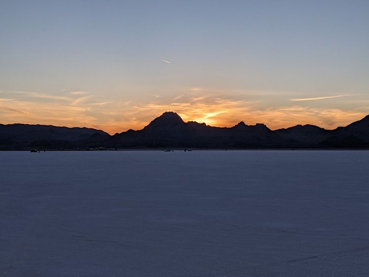
Finally got backup to the Island in the Sky, and caught the last of the sunset. It's an end to a great day off-roading.
Comments powered by Talkyard.